Internal concept study · Product Analytics
Field Atlas
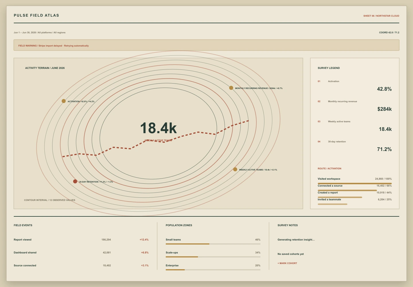
Topographic contours, field coordinates, and survey notes turn product behavior into a landscape that can be traversed rather than merely scanned.
01 Critique
Why it works
- 01Contour density provides an intuitive spatial analogy for activity and retention.
- 02A survey legend keeps every artistic mark tied to an analytical meaning.
- 03Field-note annotations carry warning, loading, and empty states without adding detached cards.
02A Advantages
Strengths
- Strong spatial metaphor
- Balanced art and precision
- Excellent exploratory feel
02B Constraints
Trade-offs
- Contour meaning must be taught
- Fine linework can lose clarity on small displays
03 Contribution
Why it belongs in the archive
Uses cartographic terrain as the organizing model for a complete product-health state.